


")


what’s new
-
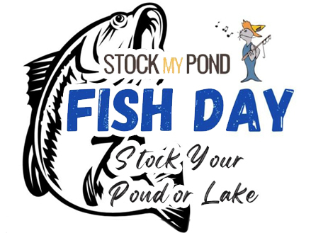
Fish Day May 2nd, 2024
LEARN MORE -
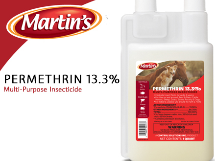
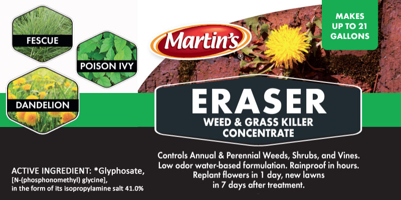
Permethrin 13.3%
SHOP NOW -
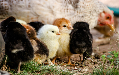
CHICKS
learn more
NOW AVAILABLE

BECOME A DEALER
Because your community relies on you to supply them with the highest-quality products
LEARN MORE